Aerocortex
Advanced Aerial Services for your industry
Aerial Intelligence for a changing world
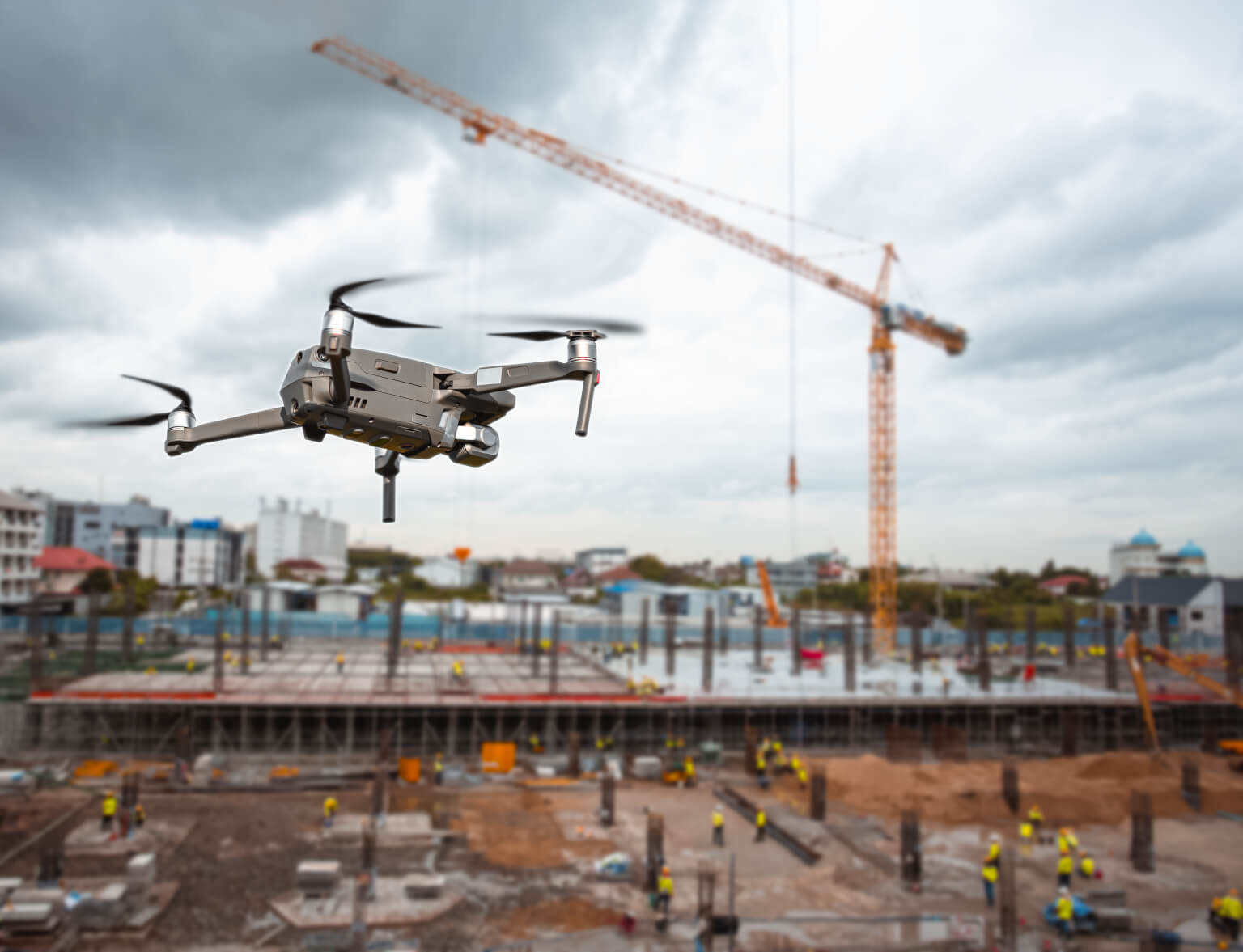
At Aerocortex, we take your projects to the next level with cutting-edge drone technology. Our aerial solutions provide high-precision imaging, photogrammetry, and real-time data analysis using AI to enhance efficiency, safety, and decision-making in construction, renewable energy, infrastructure, and audiovisual production.
Whether you need detailed topographic surveys, progress monitoring, thermal inspections, or breathtaking aerial cinematography, our team delivers innovative, accurate, and cost-effective results.
Let’s transform your perspective. Discover the power of aerial intelligence with Aerocortex
Construction & Infrastructure
Optimize your projects with high-resolution aerial surveys, site monitoring, and 3D modeling. Improve safety, track progress in real-time, and streamline operations with drone-powered insights.
Inspection & Security
Enhance site security and asset management with aerial imaging, 3D mapping, and real-time aerial surveillance. Minimize downtime and reduce risks with cutting-edge drone inspections.
Custom Drone Solutions
Looking for a specific aerial service? We tailor our drone technology to meet your needs, providing innovative solutions for industries such as agriculture, mining, and urban planning